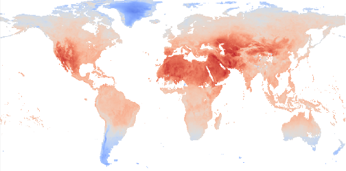
Land Surface Temperatures
This dataset contains monthly-averaged land surface temperatures (LSTs) and their uncertainty estimates from multiple Infra-Red (IR) instruments on Low Earth Orbiting (LEO) sun-synchronous (a.k.a. polar orbiting) satellites. Satellite land surface temperatures are skin temperatures, which means, for example, the temperature of the ground surface in bare soil areas, the temperature of the canopy over forests, and a mix of the soil and leaf temperature over sparse vegetation.
Quick Start Guide (PDF)
Summary Specification:
0.01 degree x 0.01 degree, EPSG:4326, Daily, July 2016 onwards
Obtaining the data:
The data is available on CEDA (https://www.ceda.ac.uk/):
https://catalogue.ceda.ac.uk/uuid/5f66a881adf846bfaad58b0e6068f0ea
https://catalogue.ceda.ac.uk/uuid/330b7c922a37420fabb3425671d7d7c6
Citation(s):
Coming Soon
License(s):
Open Access