Climate High Resolution UK (CHUK)
EOCIS is developing a number of datasets on a common 100m grid based on the British National Grid Coordinate Reference System
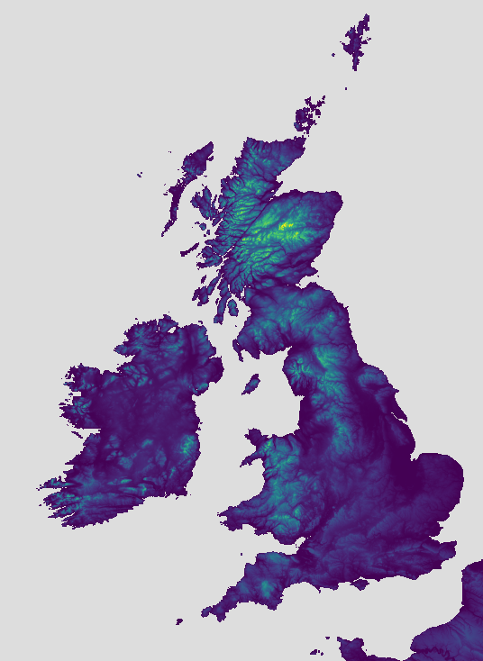
CHUK Geospatial Information Datasets
These datasets provide auxilary data relevant to the analysis of climate data. These datasets are available in netcdf4 format and may be downloaded directly from:
https://eocis.org/chuk/geospatial_information/
CHUK Lake Catchment Data
The lake catchment CHUK data product files can be used to map daily variations in the reflectance of water bodies contained in the target lake catchment. The derived quantities turbidity and chlorophyll-a can be used to determine variability in the optical and biochemical conditions of the lake and other included water bodies.
A set of vegetation, built-up area, and water indices (NDVI, NDBI, ANDWI, MDNWI) are included to aid users in selection data ranges and locations of interest.
CHUK Grid
The grid upon which CHUK datasets are developed is available via the following link:
https://eocis.org/chuk/EOCIS-CHUK-GRID-100M-v1.0.nc
Software tools for developing or working with CHUK Datasets
You will find some useful tools and libraries for developing or working with CHUK datasets in the source code repository below: